A Local’s Guide to Chongqing’s Mountain City Trail

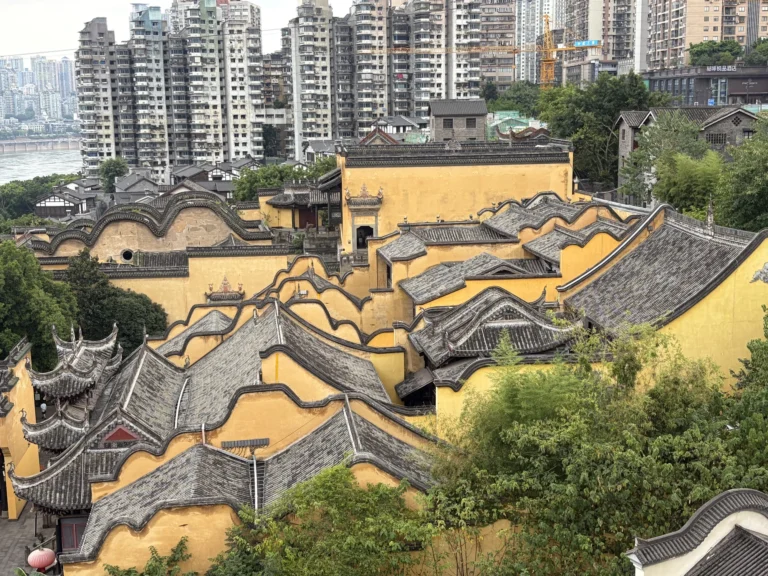
Mountain City Trail (山城步道) is one of the first places I’d recommend to anyone visiting Chongqing. It connects the upper and lower parts of old Chongqing, winding downhill along a series of uneven stone steps. In just a few hundred meters, it packs in ancient city walls, a walkway suspended along the cliff, traditional stilt houses (diaojiaolou), a church, and river views. Few places give you such a clear sense of what makes Chongqing a mountain city.
Address & map
For navigation, I recommend Gaode Maps (iOS/Android). Search for “山城巷” (Shancheng Alley) and use that as your destination. Some guides suggest navigating to “领事巷” (Consul Lane), and the official trail map also marks it near the starting point. Having walked the route myself, though, I found that using Shancheng Alley as the destination puts you in a better place to start the walk.
I don’t recommend Baidu Maps. It isn’t as accurate as Gaode around Mountain City Trail.
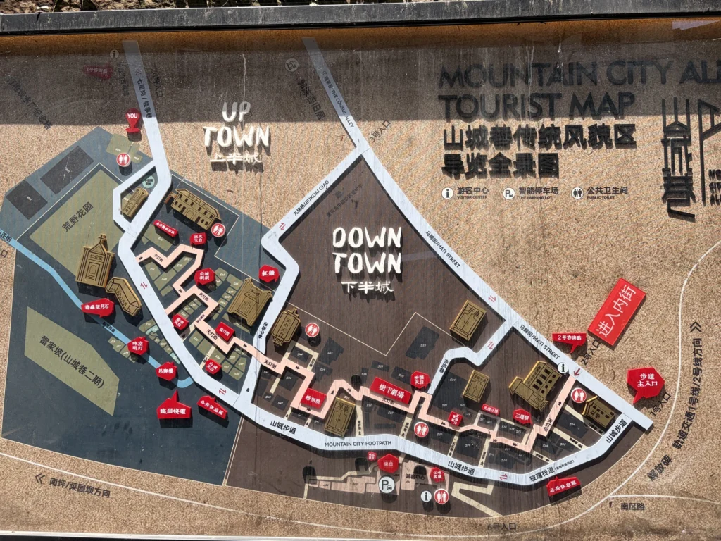
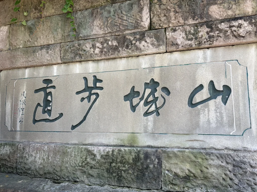
Most importantly, never set your destination to “山城步道” (Mountain City Trail). That map pin marks the very bottom of the trail. Start there and you’ll have one long, steep climb ahead of you. You’ll certainly get a taste of Chongqing’s hills, but you’ll wear yourself out fast.
If you do end up there by mistake, don’t force yourself to climb all the way up. From the “山城步道” (Mountain City Trail) sign shown in the photo below, turn left and walk about 200 meters to the visitor center. There’s an elevator inside that takes you partway up the trail, cutting out roughly a quarter of the walk. There isn’t much to see along the section you skip, so don’t worry about missing it.

Getting there
Mountain City Trail is in Chongqing’s old city, where the streets are narrow and parking can be difficult, so I take the metro whenever I visit. If you’re taking a taxi or booking a ride instead, use “渝中区佳实养老院” (Jiashi Nursing Home in Yuzhong District) as your destination.
There are two ways to reach the trail by metro. The first is to take Line 1 or 2 to Jiaochangkou Station and use any of Exits 1 through 4. From there, it’s about a 700-meter walk to Shancheng Alley.
I prefer the second option: take Line 1 or 10 to Qixinggang Station and use Exit 1. The walking distance is about the same from either station, but the route from Qixinggang is much easier, with wider, flatter streets and only a gentle uphill stretch along the way.

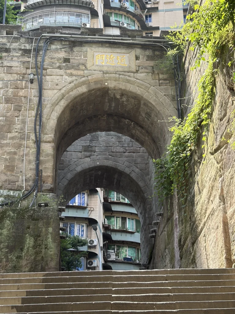
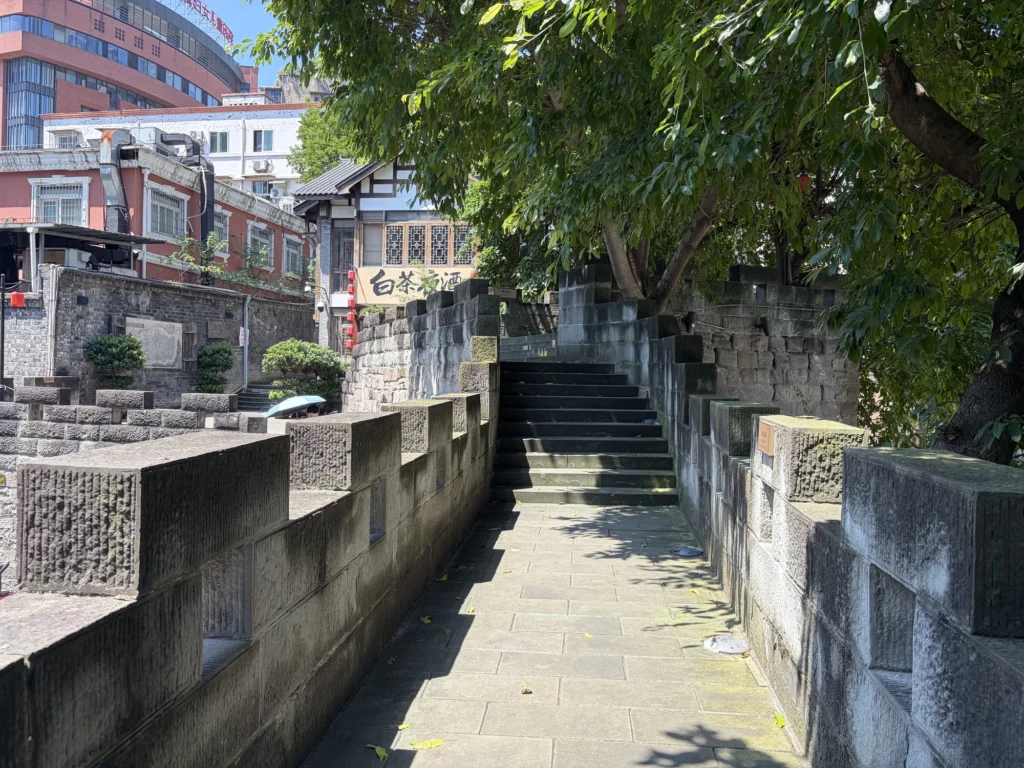
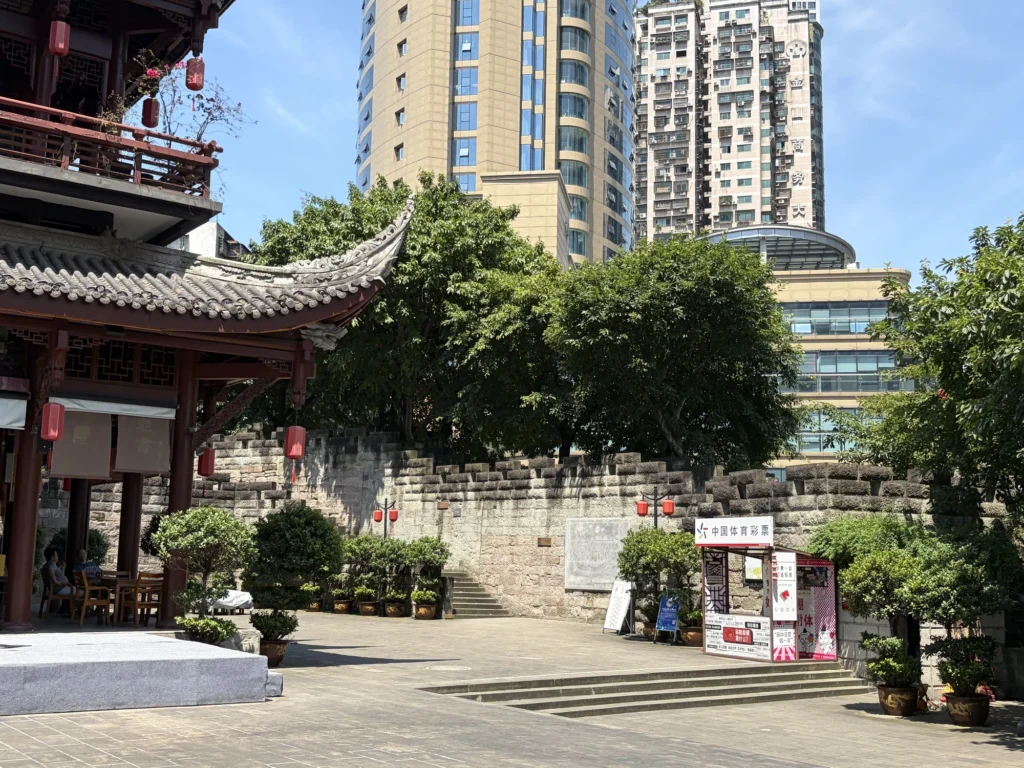
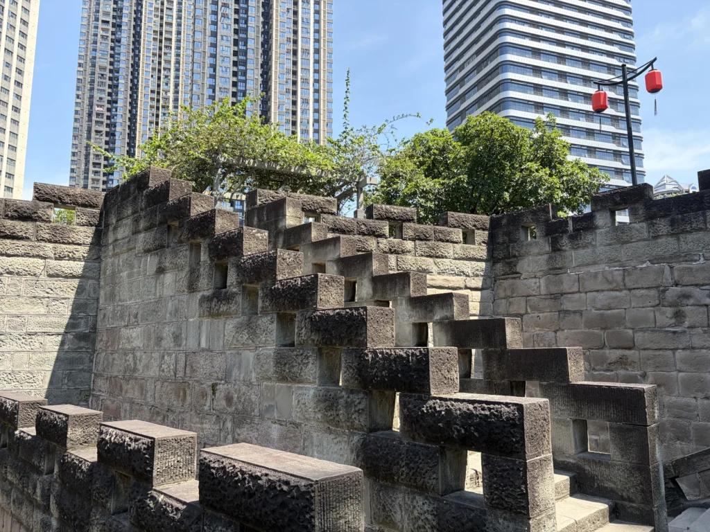
This route also takes you past Tongyuan Gate (通远门). It was one of old Chongqing’s 17 city gates and once served as a major military stronghold. Only two of those gates remain today: Tongyuan Gate and Dongshui Gate.
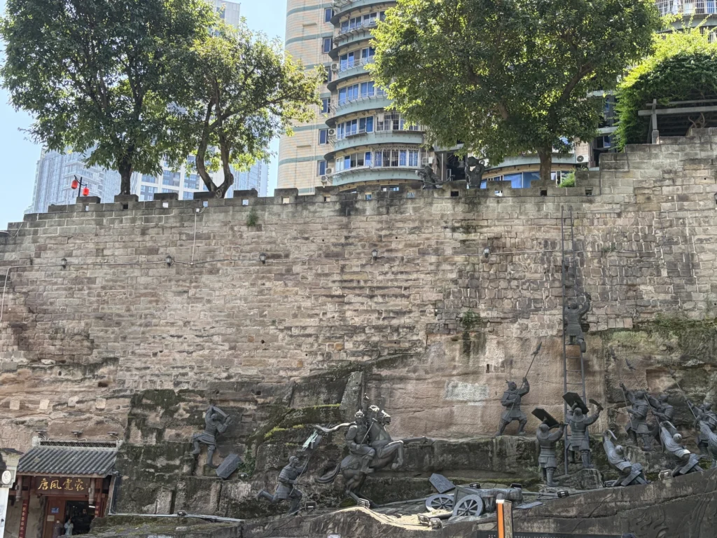
A section of the old city wall also survives beside the gate, and you can climb the steps for a closer look. It makes an easy extra stop on your way to Shancheng Alley.
The route I took
I walked Mountain City Trail first, then continued on to Shibati (Eighteen Steps). They’re close enough to visit on the same day, and I’d suggest following that order. Enter Mountain City Trail from the Shancheng Alley side and follow it downhill all the way to the bottom. From there, Shibati is only about an eight-minute walk away.
Following this route does mean you’ll have to walk uphill through Shibati, but the paths are wide and the incline is gentle, so the climb doesn’t feel particularly tiring.
Wilderness Garden
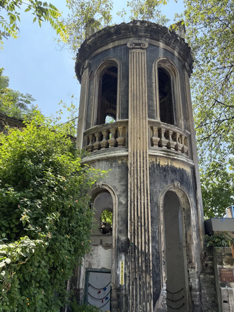
As you head downhill from the Shancheng Alley entrance, Wilderness Garden is the first place worth stopping. The garden occupies the ruins of what was once the western wing of Ren’ai Hall. At one point, the site was run-down, with trash piled among the ruins.
When work began to turn it into a garden, the designers chose not to tear down what remained and start over. Instead, they reused gray bricks and stone blocks from the ruins and worked the remaining walls, old brickwork, and plants already growing around the site into the garden.
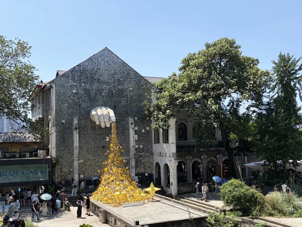
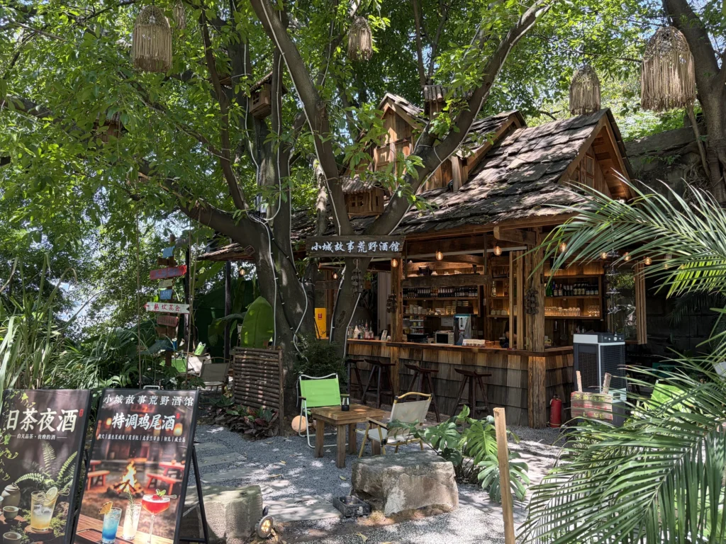
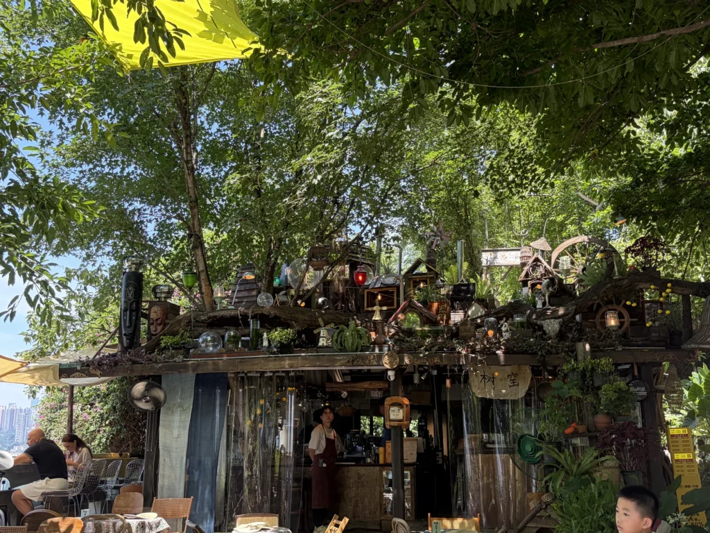
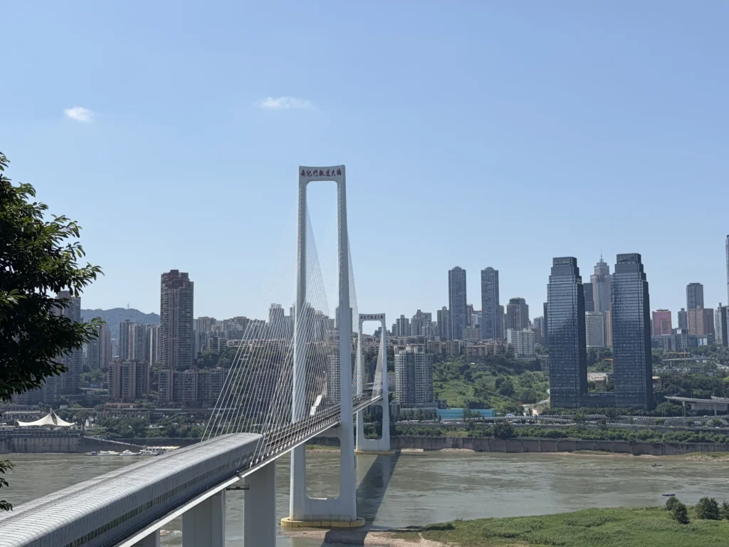
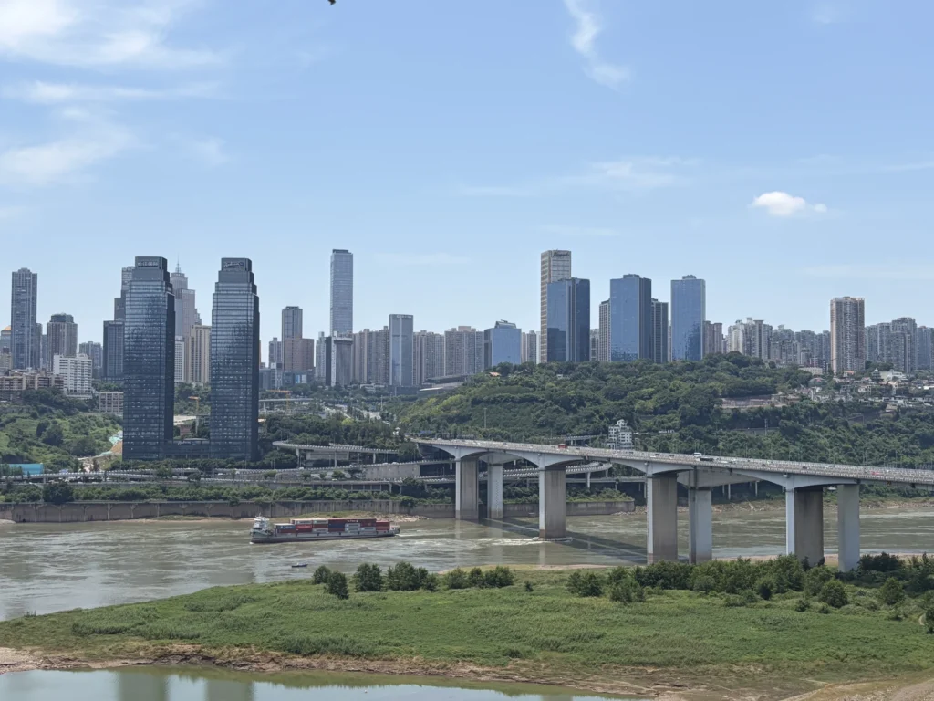
There are also two small bars in the garden, both with plenty of character. The one closest to the cliff has outdoor seating overlooking the Yangtze, with Nan’an District across the river. If you’re not in a hurry, have a drink and sit outside for a while, enjoying the breeze off the river and the view.
Ren’ai Hall
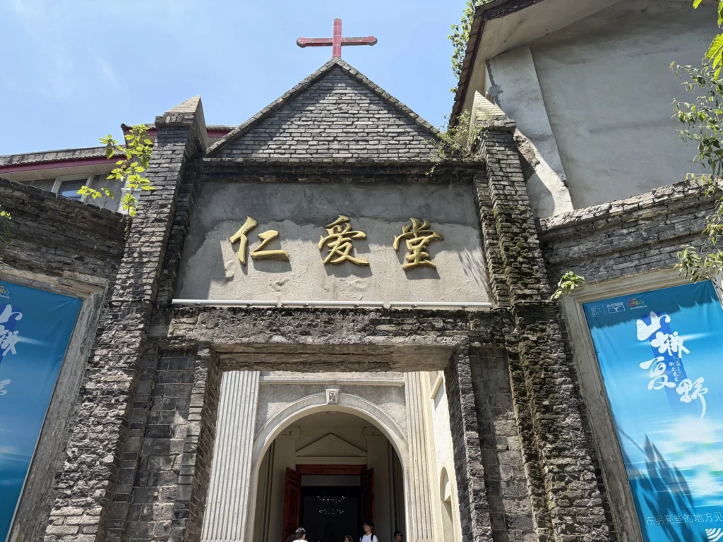
Just past Wilderness Garden, you’ll come to Ren’ai Hall. French Catholic missionaries began construction in 1900, and the complex was completed and opened in 1902.
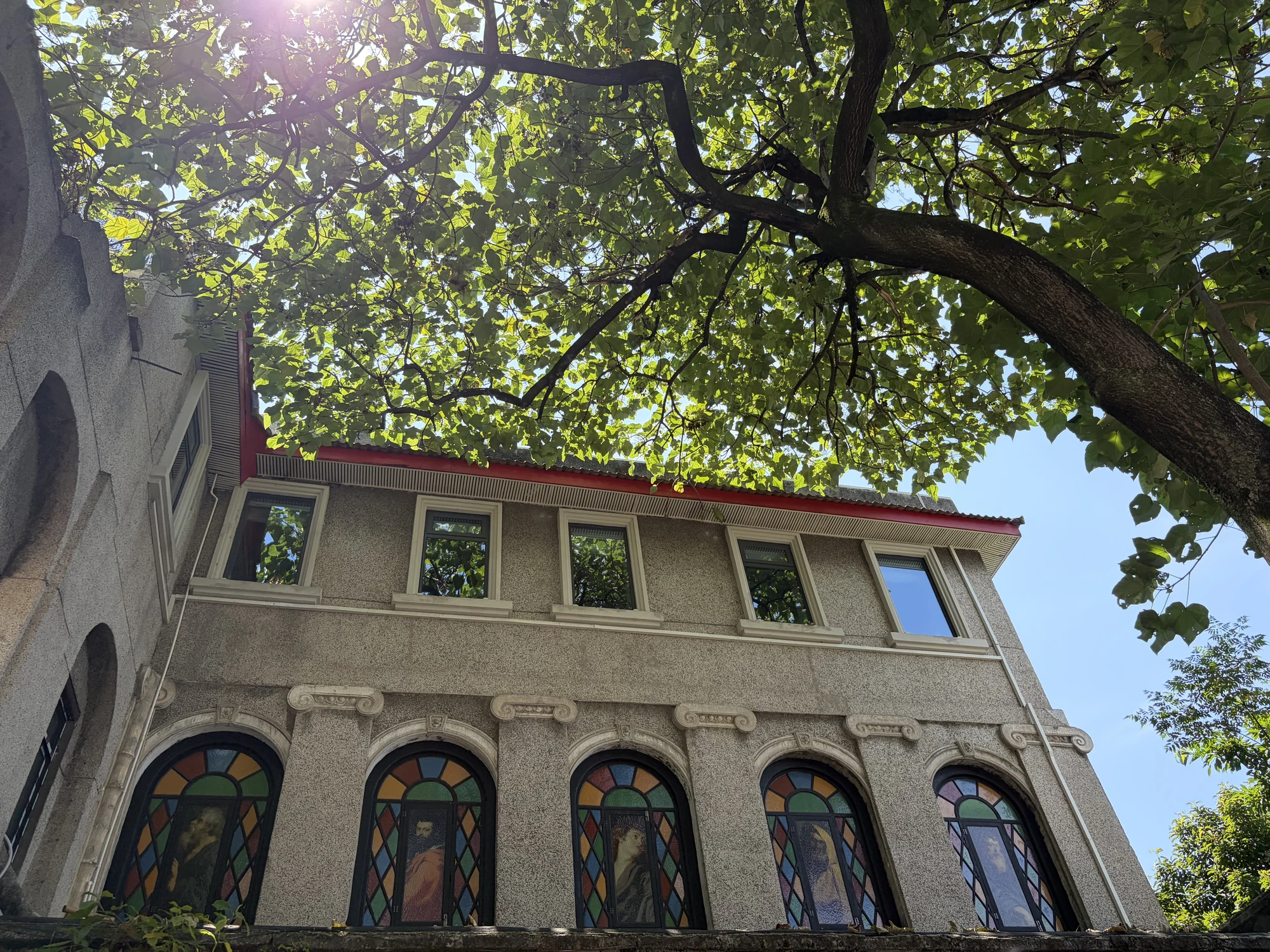
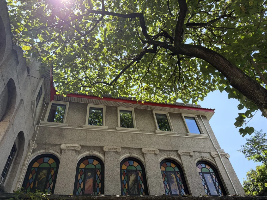
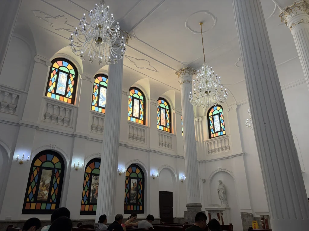
The church is open to visitors. Inside, you’ll find everything you’d expect from an old Catholic church: tall white Roman-style columns reaching to the ceiling, crystal chandeliers hanging between them, and stained glass set into the arched windows.
Jinmasi Primary School
A little farther downhill, you’ll reach the Jinmasi Primary School building. Much of the original woodwork remains inside, including exposed beams overhead and a wooden staircase that creaks softly underfoot. It still feels very much like an old-fashioned school.
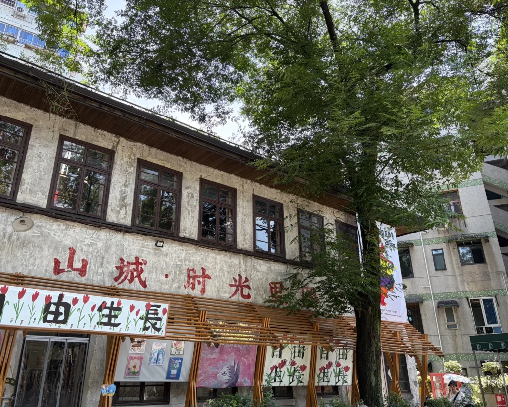
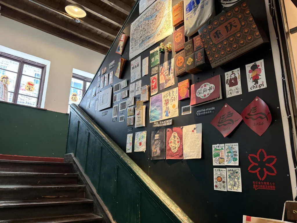
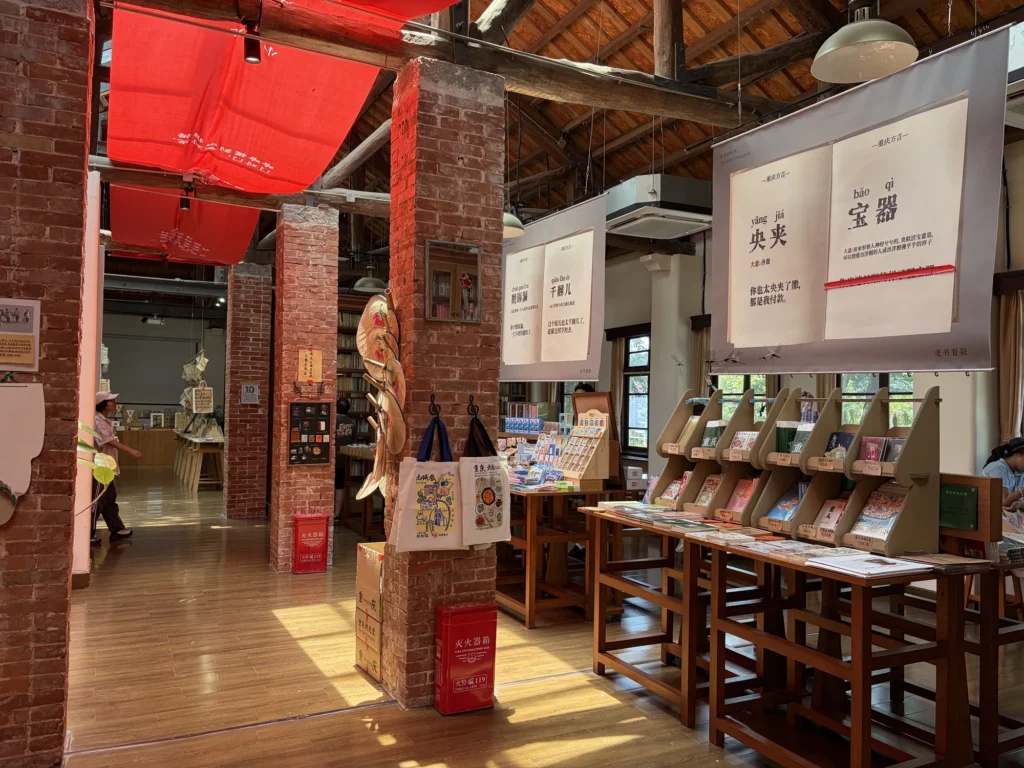
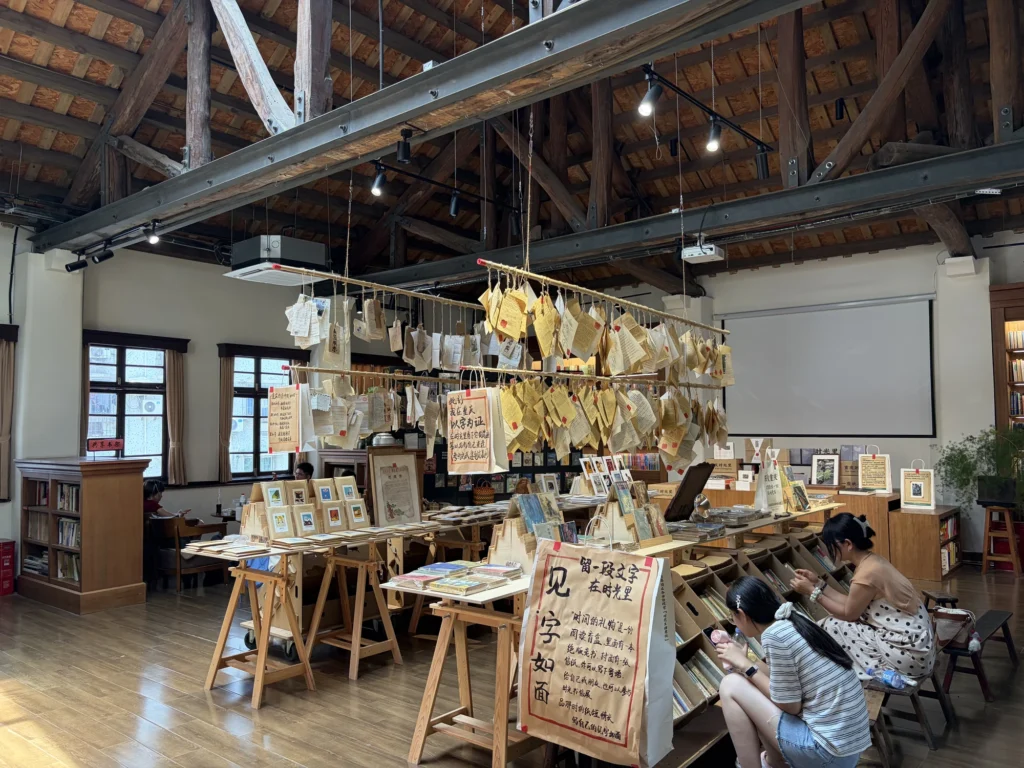
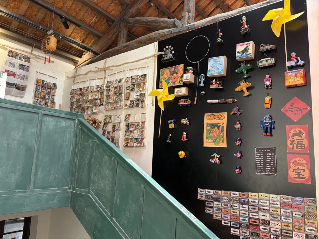
The building has two floors. My favorite part was the library on the second floor. Its shelves hold quite a few old and out-of-print books about Chongqing, along with a small selection of gifts and souvenirs.
One practical note: some guides online say the library charges an entry fee. I visited on a weekday and wasn’t charged. My guess is that they only charge when it gets busy, to keep visitor numbers down.
Baba tea
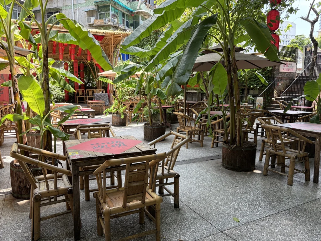
Keep heading downhill from Jinmasi Primary School and you’ll pass a small courtyard where you can sit down for baba tea, a local tradition of drinking tea outdoors. You can also watch Sichuan opera face-changing performances.
If you want to experience Chongqing’s traditional teahouse culture, this is a good place to linger.
Love Alley
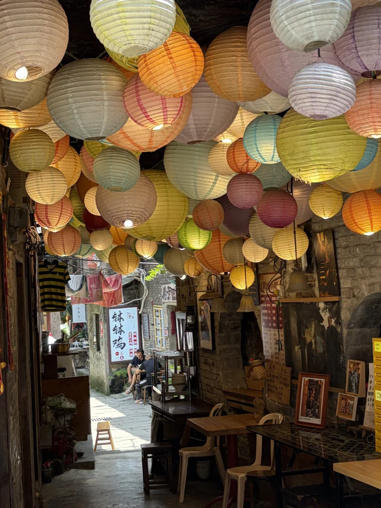
Love Alley, with colorful lanterns strung overhead, owes its fame to a well-dressed elderly woman who went viral on social media.
She and her husband have lived here for decades. The alley wasn’t named after them, but it has been the backdrop to much of their life together.
Cliffside walkway
One end of the cliffside walkway is near Love Alley, while the other leads to Wilderness Garden. You can walk it in either direction.
For me, this is the one section of Mountain City Trail not to miss. The walkway hugs the rock face just outside a city wall that dates back more than 600 years, following the river with almost nothing blocking the view. You can also see the wall’s masonry up close.
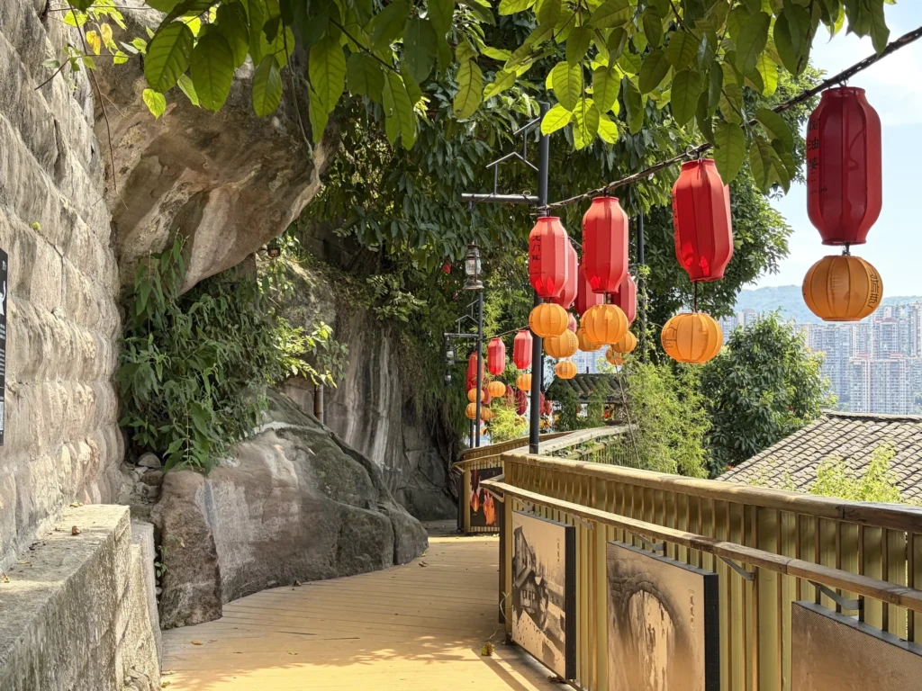
The walkway also gives you a unique perspective on the stilt houses. From the main street, you usually only see their facades. Here, you can stand directly underneath and look up to see how they literally hang off the cliff face.
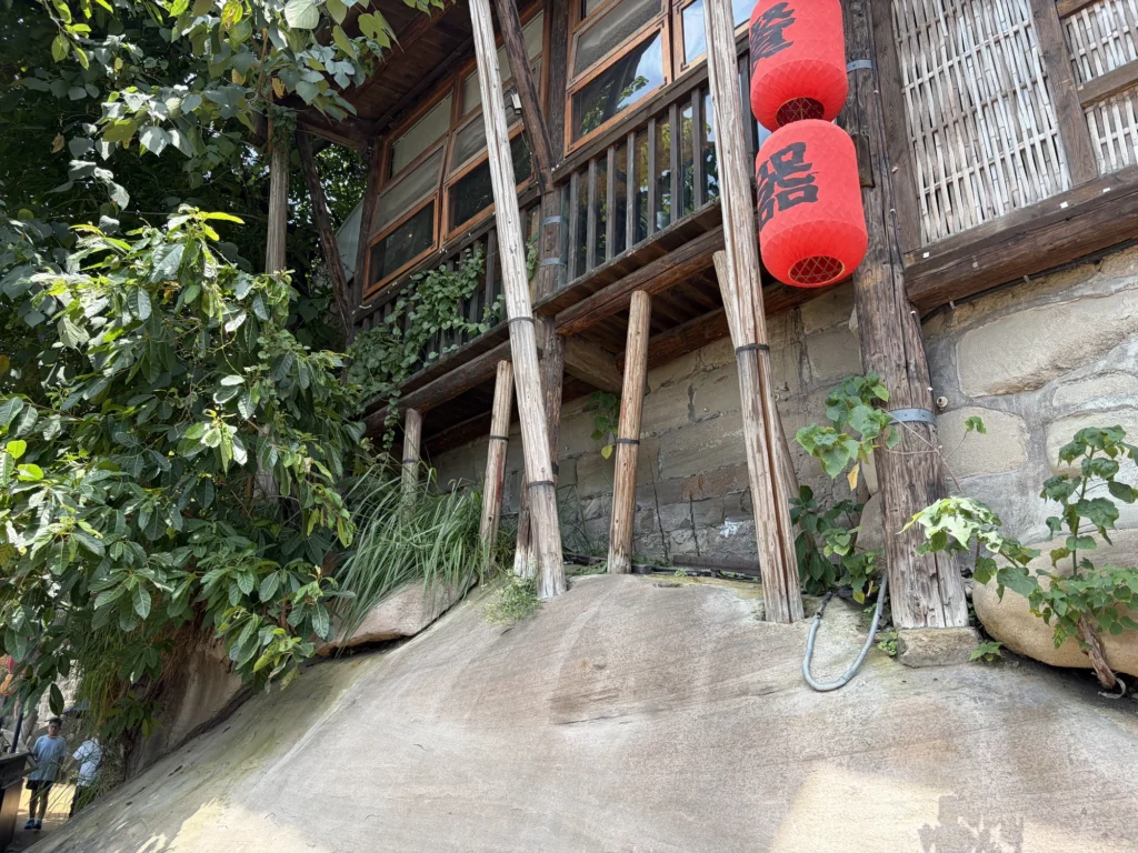
By the time you reach the end of the cliffside walkway, you’ve seen most of the highlights of Mountain City Trail. From there, the route continues through residential streets and alleys, passing small shops along the way. The full walk took me about two hours, including stops.
Compared with Shibati and Hongyadong, Mountain City Trail feels less commercial. There are still photo spots and small shops, but the route also takes you past plenty of ordinary homes and through old lanes, so more of the lived-in character of old Chongqing remains.