Guide to Chongqing Planning Exhibition Gallery


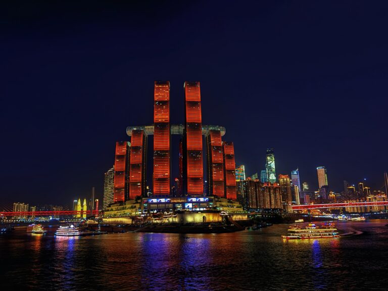
The Chongqing Planning Exhibition Gallery sits at the confluence of the Yangtze and Jialing rivers, in a building converted from a parking garage. Raffles City and Chongqing Grand Theatre face it across the water on the opposite banks. If you want to understand Chongqing’s past, present, and future in one place, this gallery tells you far more about why the city developed the way it did than any of its popular photo spots.
Getting there
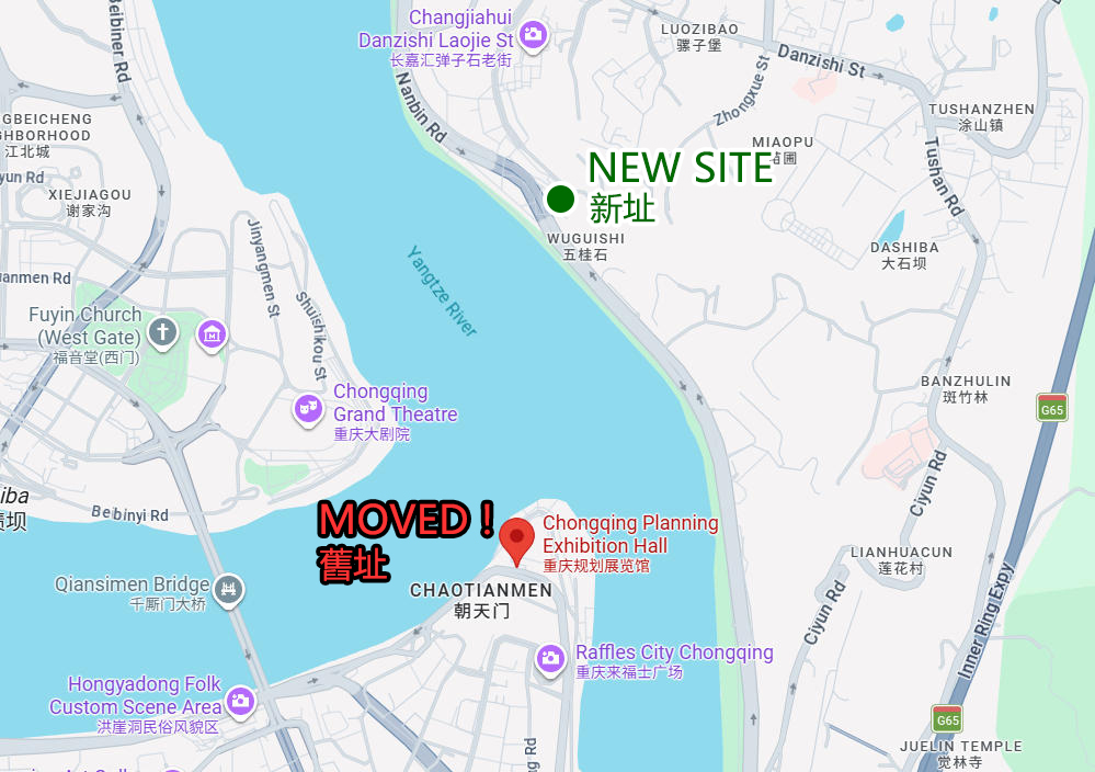
When I checked Google, I found that most websites, including Google Maps, still show the Chongqing Planning Exhibition Gallery near Raffles City. That was its old location, but the gallery moved across the river to Nanbin Road in 2022.
The correct address is 131 Nanbin Road, Nan’an District, Chongqing (重庆市南岸区南滨路131号). On Amap, search for “重庆规划展览馆”.
By public transportation, Bus 373 gets you closest to the gallery. Get off at Huguishi Stop (呼归石站), and it is only a few dozen meters away. The downside is that you may need to transfer if there is no direct bus from where you are coming from.
If you go by metro, take the Loop Line to Danzishi Station, but the station is quite far from the gallery, so you will still have to walk for almost 30 minutes after getting off.
With the bus potentially requiring a transfer and the nearest metro station still a long walk away, I would recommend taking a taxi or using a ride-hailing app instead.
Admission and opening hours
The Chongqing Planning Exhibition Gallery is free to enter and does not require an advance reservation. No ID is required either, although I would still carry one just in case.
The gallery is open Tuesday to Sunday from 09:00 to 17:00, with last admission at 16:30. It is closed on Mondays.
Free guided tours are offered at 10:00 and 15:00 each day the gallery is open.
What to see at Chongqing Planning Exhibition Gallery
The building has four floors, but only Floors 1 to 3 are currently open.
First floor
The first floor is mainly an introduction to Chongqing.
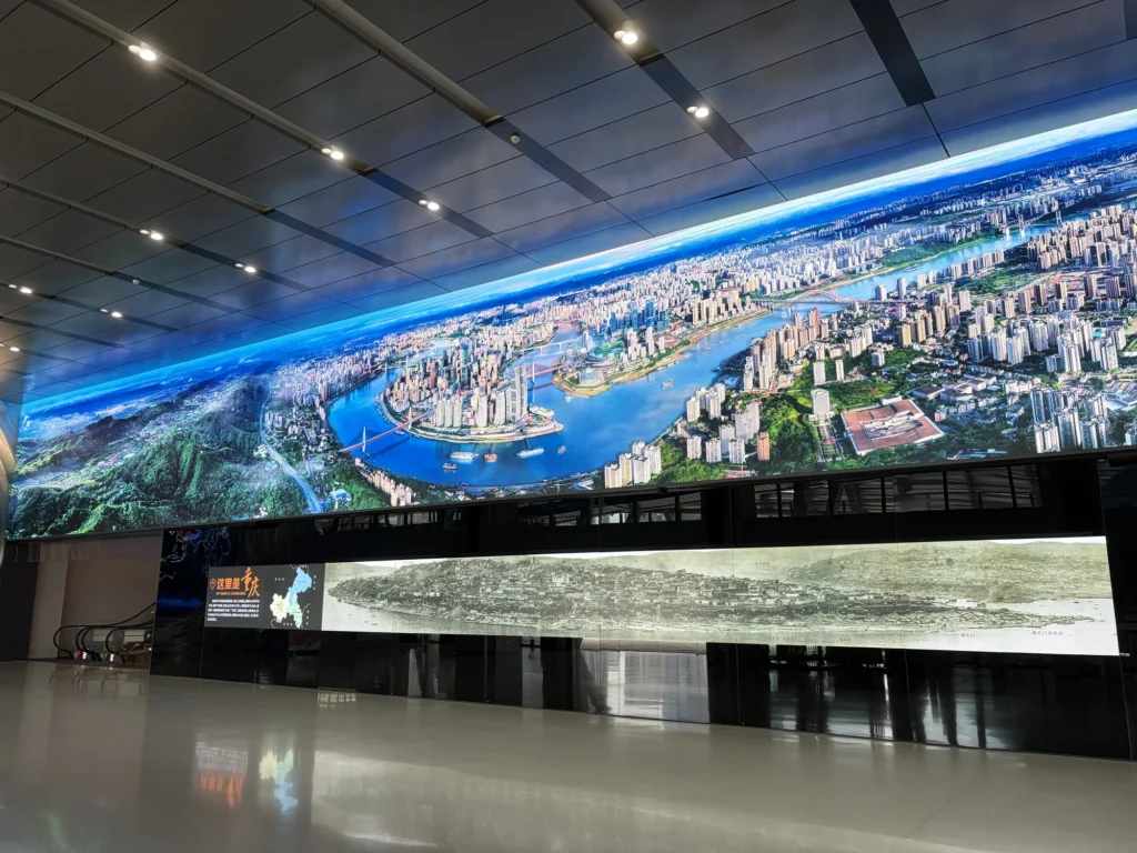
Just inside the entrance are two unusually long LCD screens. The upper one, about 10 meters long, shows a panoramic view of today’s cityscape along the four banks of the Yangtze and Jialing rivers. Below it, a roughly 5-meter screen shows the Yuzhong Peninsula as it looked in the late Qing dynasty.
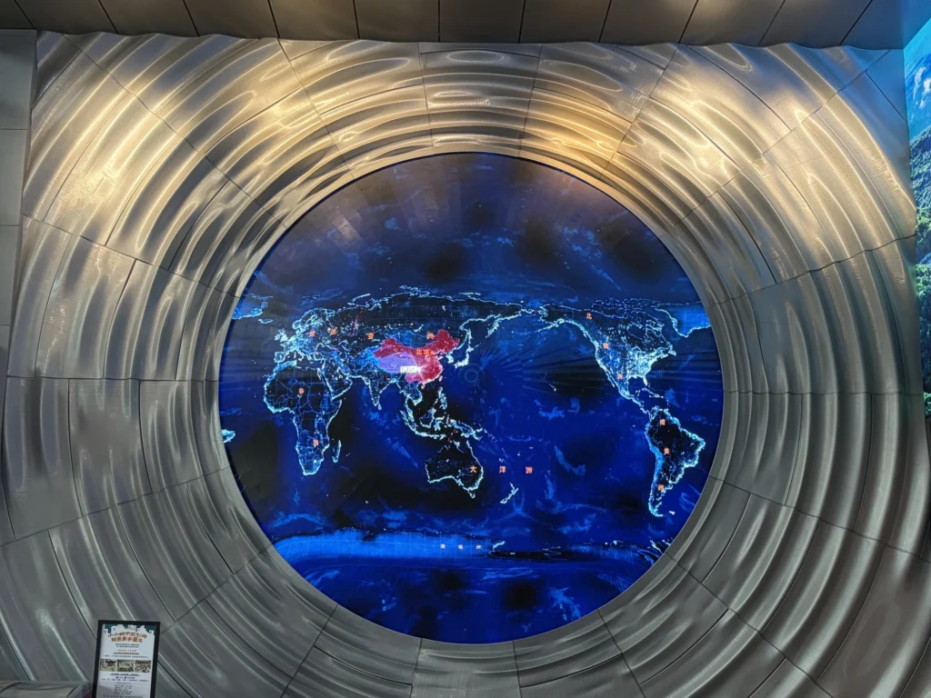
Built into the wall on the left is a large curved screen showing a world map, with a looping film about Chongqing’s connections with the rest of the world.
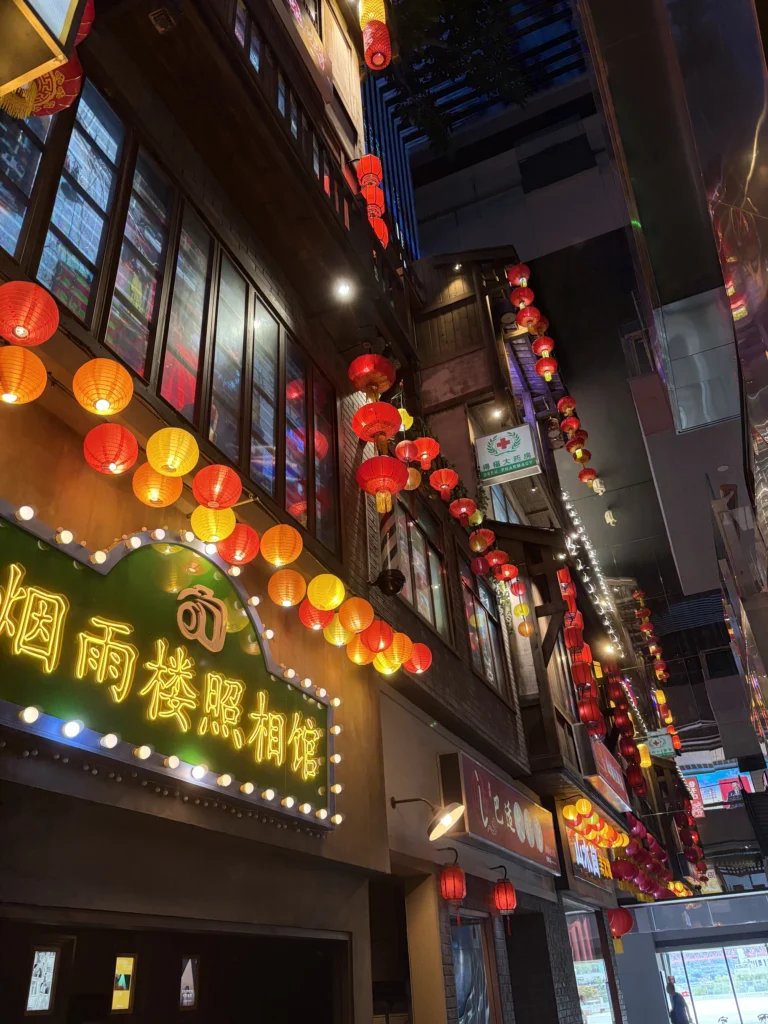
One of the more interesting parts of the first floor is a series of recreated scenes of everyday street life in old Chongqing. The gallery uses the space beneath the escalators and the tall atrium running through several floors to recreate scenes of old Chongqing indoors.
The recreations are not particularly elaborate, but they are more engaging than standard exhibition panels and also work better for photos.
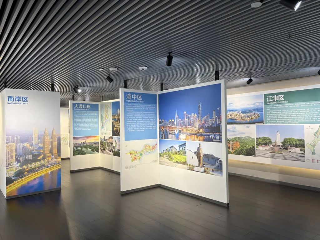
After passing through a miniature Chaotianmen Gate, you come to a section introducing Chongqing’s various districts and counties.
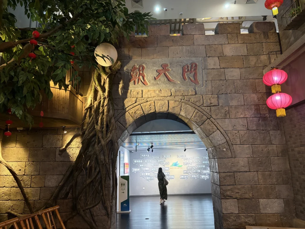
It is all text and display panels, so you can skip it unless you’re interested in the city’s administrative divisions.
Second floor
The second floor has the most substantial content in the gallery and is the part most worth exploring in detail.
Make sure you take the red staircase up and start from there, because this is where the exhibition begins.
The first section explains how Chongqing’s landscape took shape. Chongqing lies far inland today, but over hundreds of millions of years the area was covered by glaciers, submerged beneath the sea several times, shaped by rivers, lakes, and lake basins, and later transformed by uplift and folding into the mountainous terrain seen today.
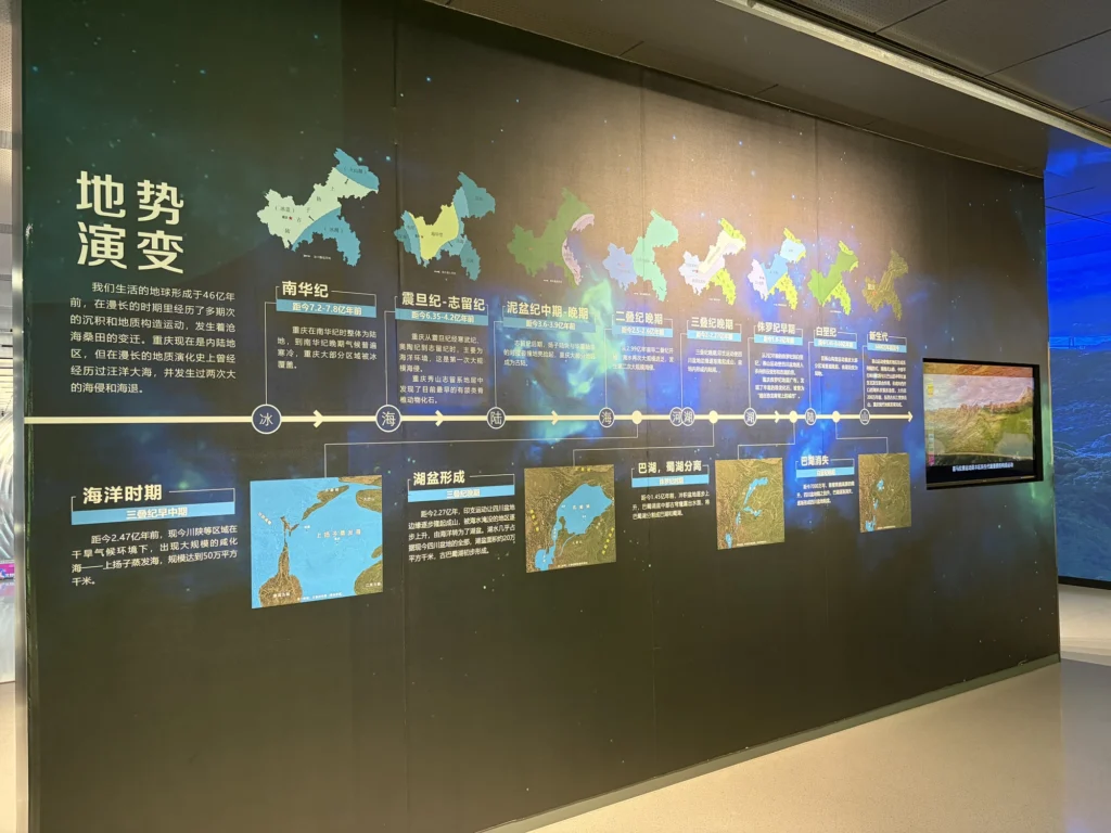
The result is a municipality where roughly three-quarters of the land is mountainous, with very different landscapes from one region to another.
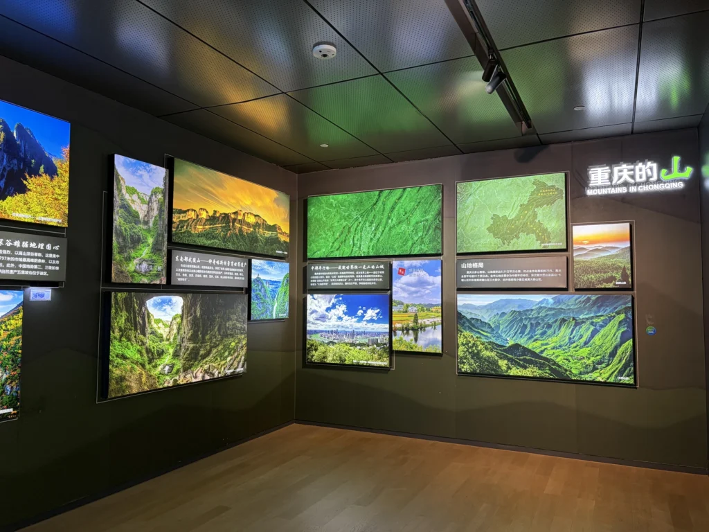
Central Chongqing is cut up by a series of ridges, and the city gradually developed through the valleys between them. Once you see the terrain laid out this way, Chongqing’s nickname, the “Mountain City,” makes immediate sense.
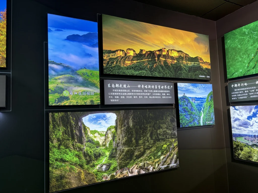
The landscape of the Wuling Mountains in southeastern Chongqing is completely different from that of central Chongqing. The region is known for karst terrain, with sinkholes, fissures, caves, gorges, and natural stone bridges scattered throughout. Wulong’s Three Natural Bridges are a classic example of this karst landscape.
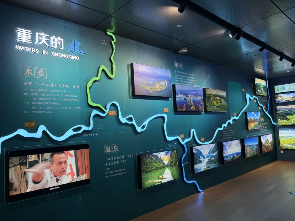
Farther northeast, around the Daba and Wushan mountains, the terrain rises higher and the valleys become much deeper. Qutang Gorge and Wu Gorge, two of the Three Gorges of the Yangtze, lie in this part of Chongqing.
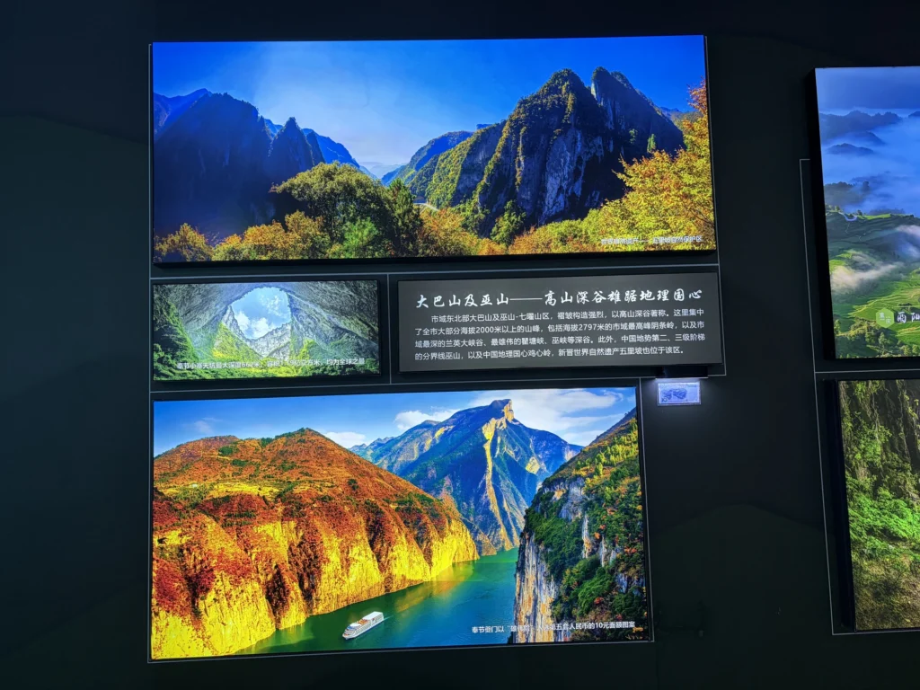
Interwoven with this mountainous landscape is a network of rivers stretching across Chongqing. The Yangtze flows for nearly 700 kilometers through the municipality, with the Jialing and Wu as its two most important tributaries. Thousands of other rivers, large and small, wind through the mountains.
The exhibition then shifts from geography to human history, covering everything from the ancient Ba Kingdom to modern Chongqing. For most visitors, there is no need to read every period in detail. Instead, you can focus on a few of the cultural heritage sites introduced here.
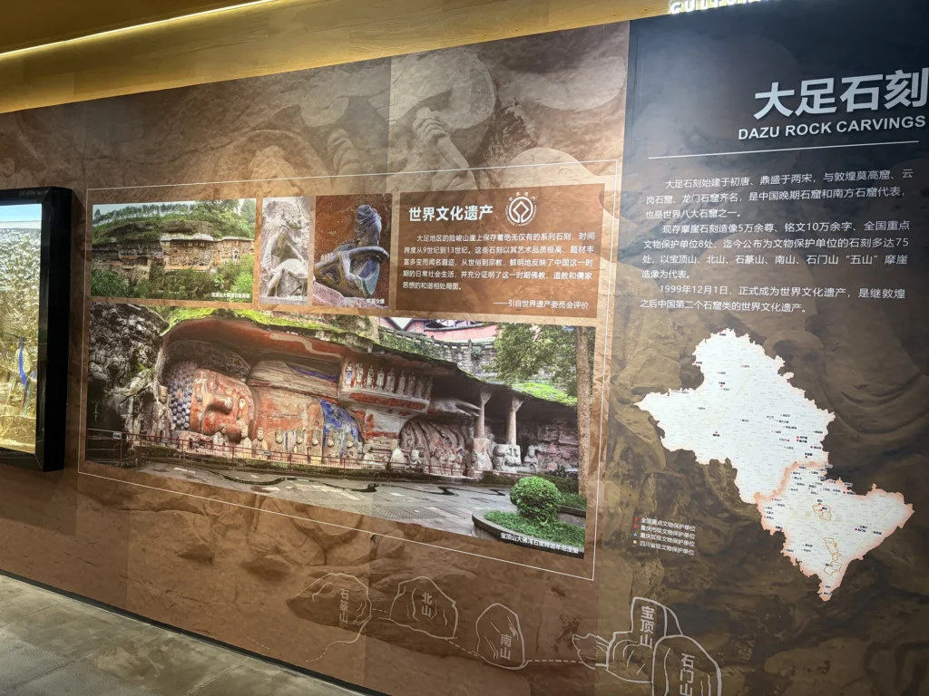
One is the Dazu Rock Carvings. Work on the carvings began in the early Tang dynasty and reached its height during the Song period. More than 50,000 rock-carved figures survive today, making Dazu one of the most important examples of China’s later grotto art and a UNESCO World Heritage Site. If you plan to make a separate trip to Dazu, this is a useful place to pick up some background first.
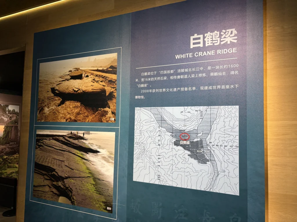
Next is Baiheliang, a natural stone ridge about 1,600 meters long in the Yangtze at Fuling. The rock is covered with ancient inscriptions related to water levels in the Yangtze. After the Three Gorges Project raised the water level, the site remained submerged beneath the river. It is now part of the Chongqing Baiheliang Underwater Museum, where visitors can see it underwater.
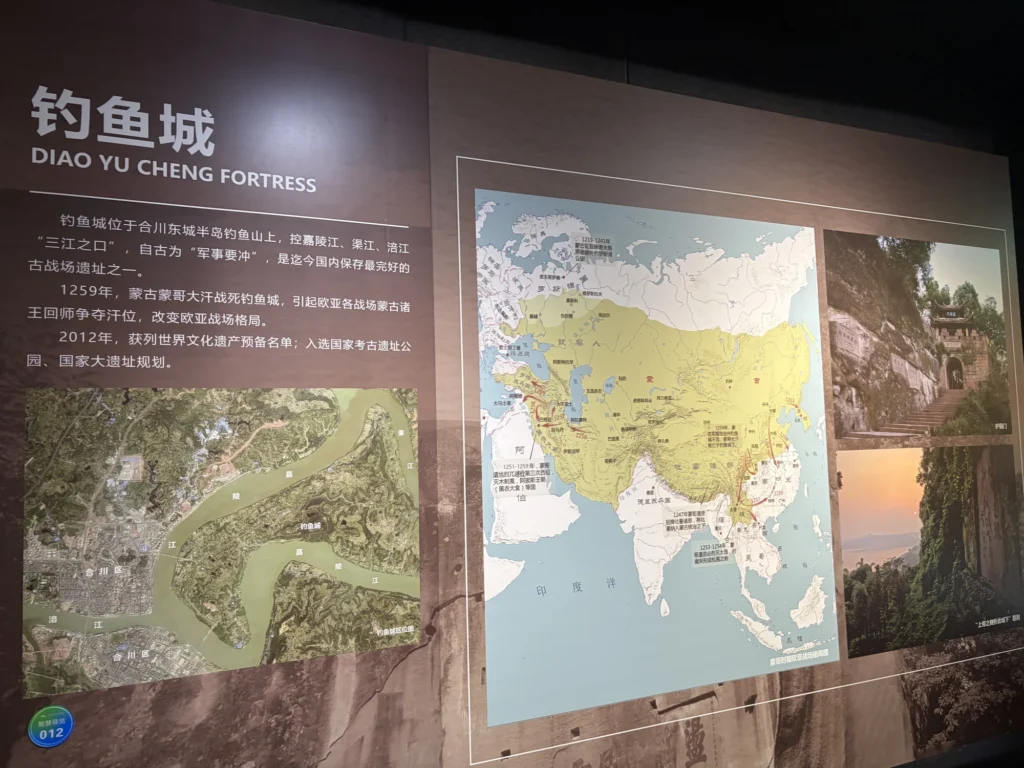
The most dramatic story belongs to Diaoyu Fortress in Hechuan. The fortress commanded the area around the confluence of the Jialing, Qu, and Fu rivers, and Southern Song forces resisted Mongol armies here for years.
In 1259, Mongke Khan died during the campaign against Diaoyu Fortress. Mongol princes then returned from other battlefronts across Eurasia to contest the succession, indirectly affecting the course of history in both Europe and Asia.
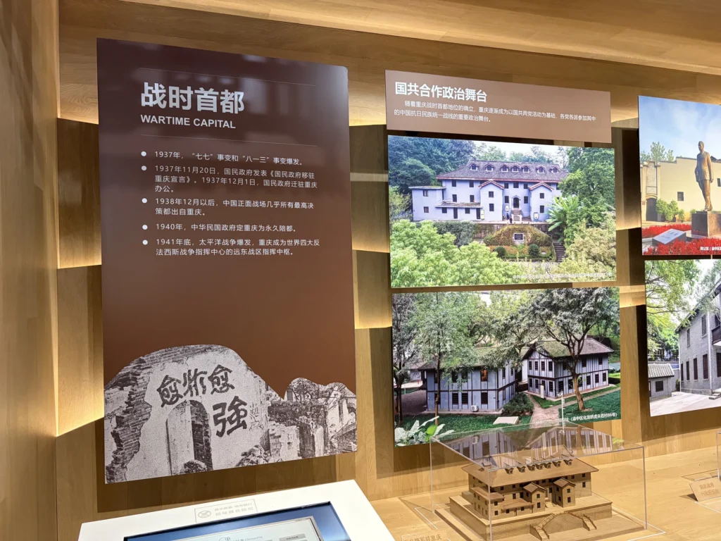
During the Second Sino-Japanese War, the Nationalist government relocated to Chongqing, turning what had been an inland city in southwestern China into a wartime political, military, and diplomatic center. Factories, schools, and cultural institutions moved here as well, while the population grew rapidly. Chongqing’s urban scale and industrial base changed dramatically during this period.
Many of Chongqing’s wartime sites, air-raid shelters, and modern-era buildings still carry traces of the city’s eight years as China’s wartime capital.
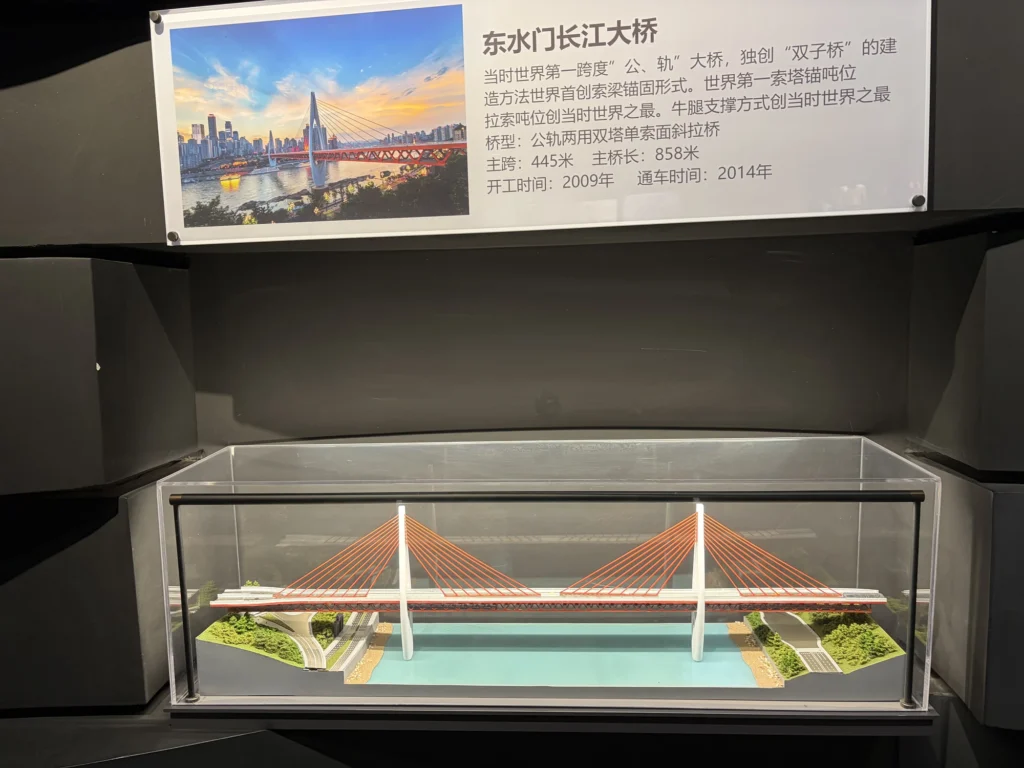
The exhibition then moves on to “Mountain City Transportation”. Because of its mountainous terrain and many rivers, Chongqing relies heavily on bridges, which has earned it the nickname “China’s Bridge Capital”.
A dedicated bridge section contains models of several major river crossings, including Chaotianmen Bridge, Qiansimen Bridge, and Dongshuimen Bridge, along with basic information about their bridge types and construction.
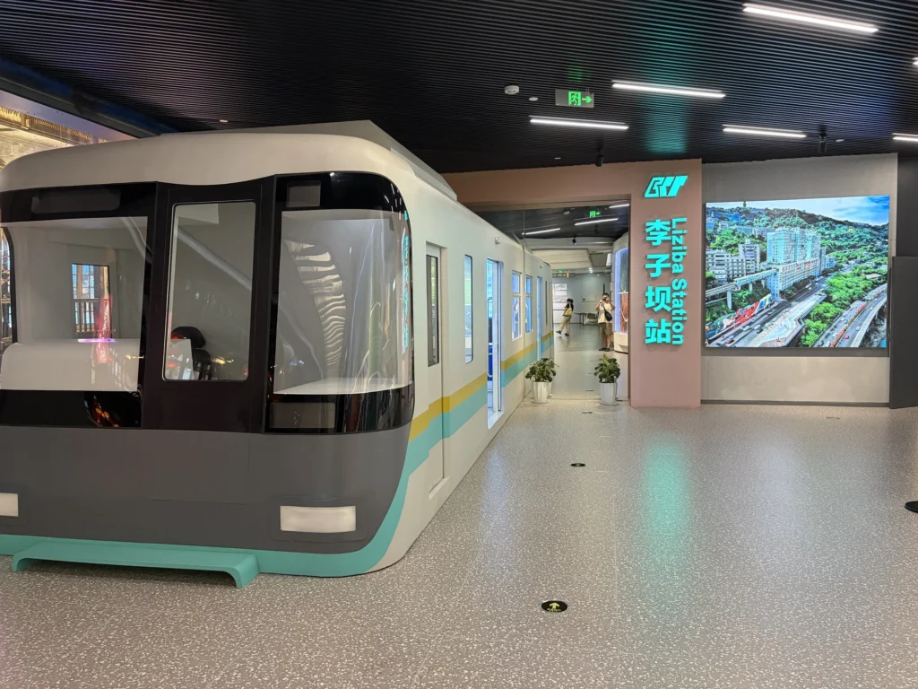
There are also exhibits related to Liziba Station, plus a near-full-scale recreation of a first-generation Line 2 train cab and carriage.
Third floor
The third floor is divided into Strategic Positioning and Master Planning.
The first section deals mainly with Chongqing’s industrial layout, economic development, and future direction. Almost everything is presented through text and display panels. Reading it all carefully would probably take the entire day, so I think this section can be skipped.
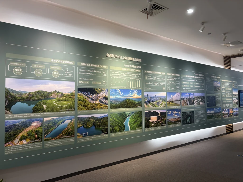
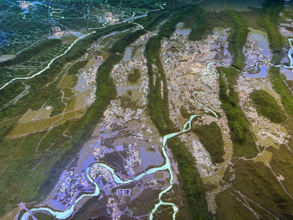
The main reason to spend time on the third floor is the Master Planning section. Its large terrain model of central Chongqing and the surrounding area is, for me, the most worthwhile exhibit in the entire gallery.
The model makes Chongqing’s geography immediately clear. Long ridges run through central Chongqing, with the urban area spread across separate valleys and riverbanks.
As Chongqing expanded outward from its original core on the Yuzhong Peninsula, mountains repeatedly restricted growth to the east and west. Conditions were more favorable to the north, so the city developed a clear long-term pattern of northward expansion.
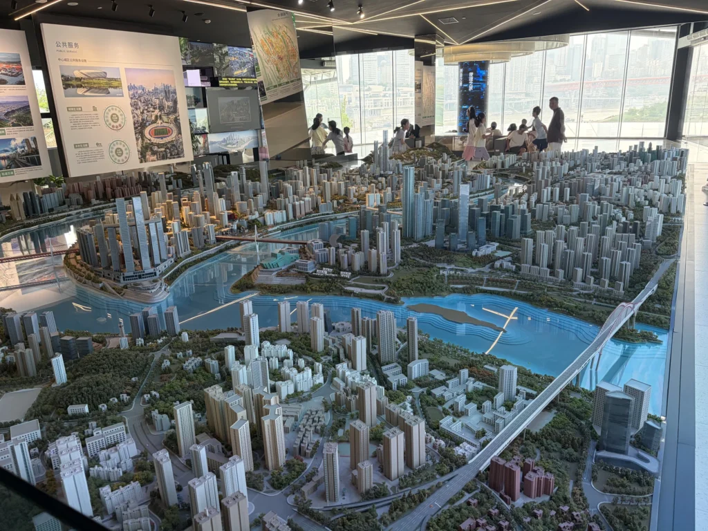
Farther along is another enormous model of central Chongqing. The cityscape along all four banks of the Yangtze and Jialing rivers is condensed into the model, with landmarks such as Raffles City, Chongqing Grand Theatre, and Hongyadong easy to pick out.
Drone light show
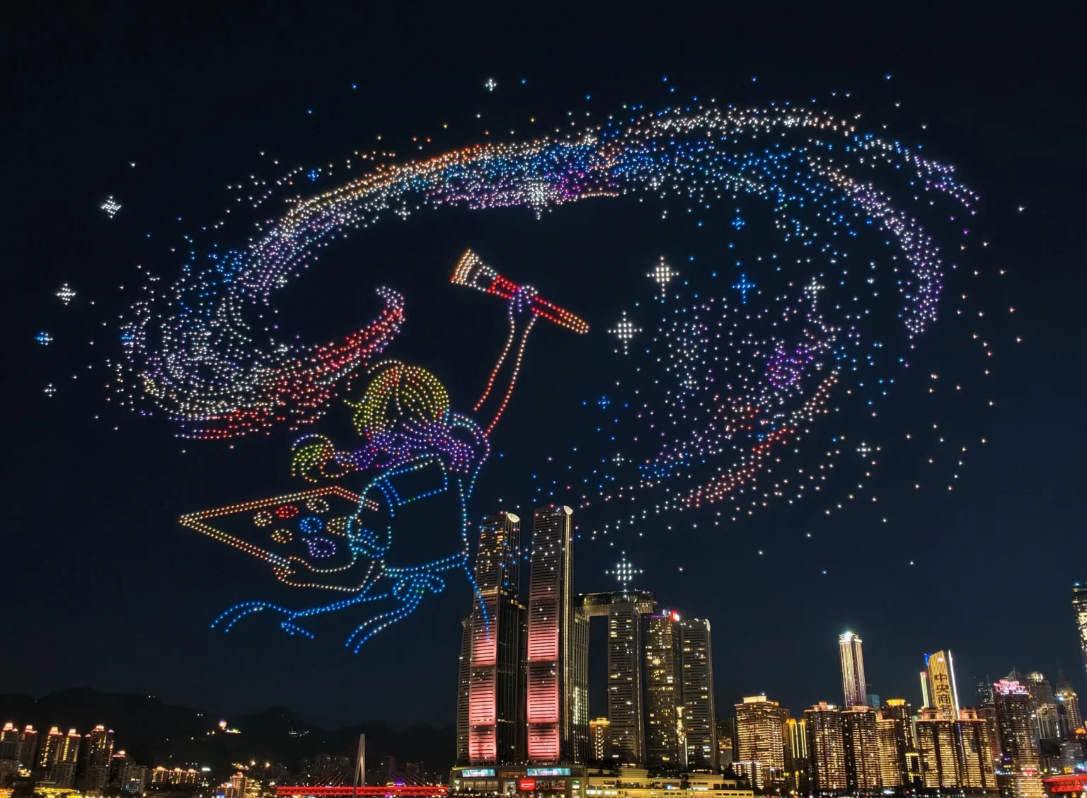
The plaza directly outside the gallery is the takeoff and landing site for Chongqing’s regular drone light shows. From here, you can watch thousands of drones rise into the sky.
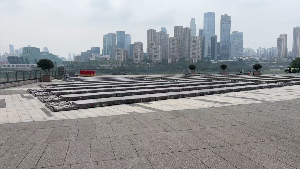
The drawback is that you are so close to the takeoff area that the overall viewing experience is not as good from here.
I would walk about 300 meters to the nearby Changjiahui Shopping Center instead. That is the best place to watch the drone light show.